THE WORLD IN
BREATHTAKING 3D
THE WORLD IN BREATH-TAKING 3D

Elevating Earth
Observation
NUVIEW is revolutionizing the Earth observation industry by building the first commercial satellites designed to annually map the planet’s entire land surface with LiDAR. NUVIEW’s data will elevate global capabilities and transform what is possible for mankind to know about the Earth.
FEATURED
Products & Services
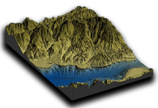
NUVIEW Digital Surface Models (DSMs)
The
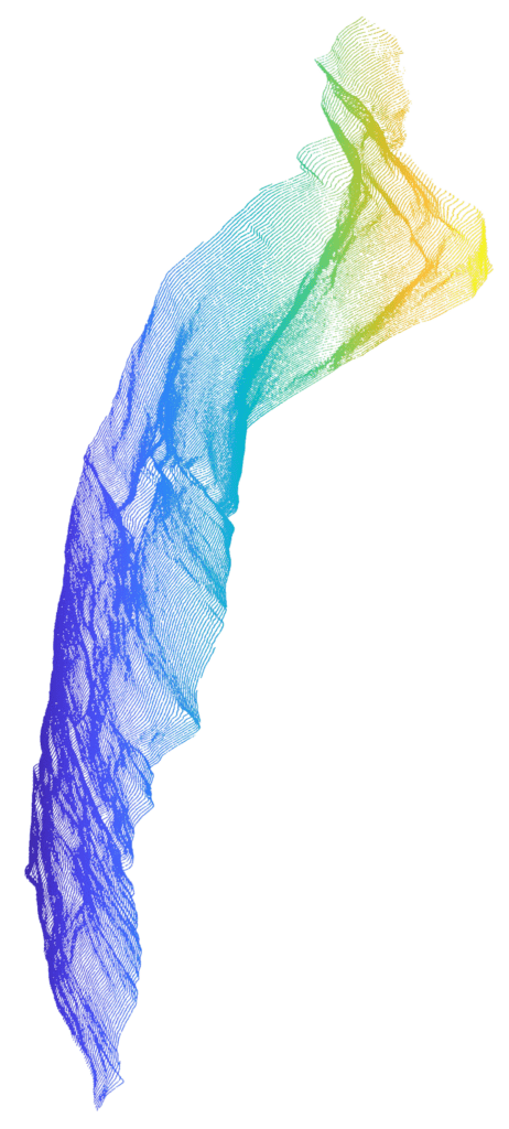
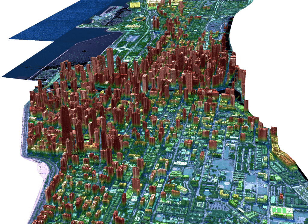
NUVIEW LiDAR Point Cloud
A dense, 3D data set representing Earth’s surface and objects, our point cloud is generated by using laser pulses to calculate the distance between the LiDAR sensor and the object being measured.
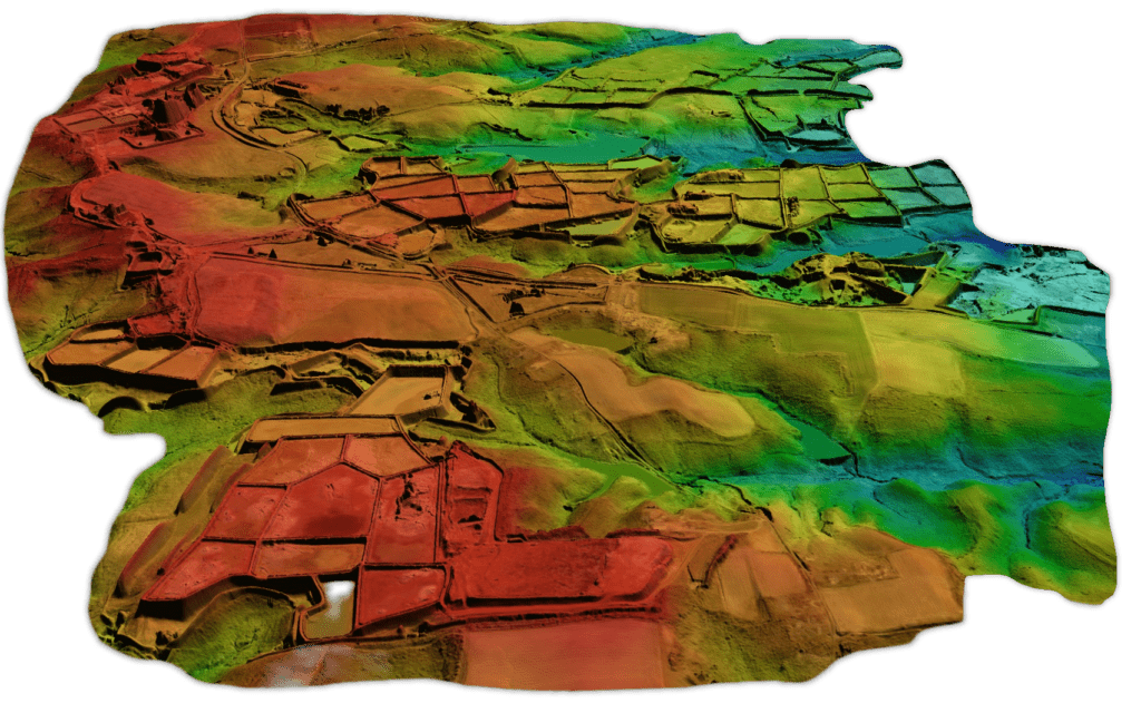
NUVIEW Digital Terrain Models (DTMs)

Why Space-based
LiDAR?
Collecting LiDAR data from space using a constellation of satellites presents a substantial advantage over utilizing airplanes or drones, primarily due to the vastly more efficient and comprehensive collection capabilities of satellites. Satellite-based LiDAR systems will enable unparalleled coverage, capturing data from the most remote and inaccessible areas on a global scale, far beyond the reach of aircraft.
Our Data Processing and Analytics services include:
3D Change Detection
We employ space-based LiDAR data to monitor urban growth, infrastructure development, and natural events, aiding decision-making and resource management.
Foliage Penetration
This modality captures high-resolution data for areas obscured by vegetation, supporting forestry management, infrastructure planning, and environmental studies.
Digital Twin
These collections use rapid, space-based LiDAR to create real-time, high-resolution digital twins for situational awareness and strategic decision-making.
Utility and Energy Corridor Mapping
Creating digital twins of networks, improves visualization, prevents asset failures, and enhances network reliability.
Flood Mapping & Water Body Management
NUVIEW’s hydrological data suite maps water bodies and flood plains for flood-prone area identification, mitigation strategies, and flood-pattern assessment.
Industries We Serve
By offering precise, reliable data across these applications, LiDAR can play a vital role in informing and
enhancing global climate initiatives and contributing to a more sustainable future.
Applications include:
Forest and Carbon Monitoring
Map and monitor forest biomass, estimate carbon stocks, track deforestation and reforestation, and promote sustainable forest management practices.
Renewable Energy
Improve wind farm site selection and design, and maximize energy production. It also evaluates solar potential for optimal panel placement.
Flood Risk Management
LiDAR-generated elevation models identify flood-prone areas, enabling better flood prediction, preparedness, and mitigation strategies.
Coastal Resilience
Monitor coastal erosion and shoreline changes, informing coastal protection measures and ecosystem preservation efforts.
Infrastructure Planning
Provides detailed topographical data to support climate-resilient infrastructure development, sustainable urban planning, and minimized environmental impacts.
Environmental Management
LiDAR enables accurate, high-resolution mapping of the Earth’s surface, providing vital data for monitoring ecosystems, natural resources, and climate change. Applications include:
Map habitats, vegetation structure, and landscape features, allowing better conservation planning and biodiversity assessment.
Elevation data identifies wetland boundaries and health, guiding restoration and land-use planning for ecosystem protection.
Use detailed analysis to inform land-management practices to minimize erosion and mitigate landslide risks.
Use highly accurate data on watershed boundaries and riverbed morphology, supporting flood control and water quality monitoring.
LiDAR helps monitor crop health, soil conditions, and irrigation infrastructure, enabling precision agriculture practices.
Analyze the potential effects of development projects, ensuring sustainable planning and minimizing negative ecosystem impacts.
Identify and map wildlife corridors, preserving connected habitats for species movement and ecosystem health.

Telecommunications
LiDAR facilitates precise mapping of terrain and infrastructure, providing critical data for efficient network planning, optimization, and maintenance for improved connectivity. Applications include:
Find optimal cell tower locations, boosting network performance.
Enhance connectivity by minimizing interference and obstructions.
Aid 5G network planning, addressing radio wave factors.
Monitor vegetation near infrastructure, preventing service disruptions.
3D modeling enables remote inspection and improved inventory accuracy.

National Mapping Initiatives
LiDAR technology is crucial for supporting national mapping programs in civil governments, providing high-resolution, accurate data across various applications, including:
Detailed digital elevation, terrain, and surface models serve as foundational layers for geospatial databases and mapping projects.
Inform cost-effective, environmentally sensitive development of transportation networks, utilities, and other infrastructure.
Accurate topographical and land cover information aids in sustainable growth, resource management, and urban planning decisions.
Identifies hazard-prone areas and assists in risk mitigation, evacuation routes, and post-disaster recovery efforts.
Accurate terrain and infrastructure data support national security initiatives and enhance situational awareness.
Precise land parcel, boundary, and topography information from LiDAR ensures fair and accurate property assessments.
Monitoring and managing natural resources, such as forests and water bodies, contribute to effective environmental policy-making and conservation efforts.

Testimonials

"Partnering with NUVIEW has the exciting potential to unlock new capabilities and insights within Ursa Space's virtual constellation. With access to NUVIEW's LiDAR, a dataset particularly well suited for machine learning, Ursa Space's key algorithms can be applied to a digital twin of our environment, fueling insights and understanding of our physical world. At Ursa Space, our government and commercial customers alike come to us with unique problems and need answers in near-real-time. With the addition of LiDAR, we can take that analytic optimization to a new level."
Adam Maher, Chief Executive Officer & Co-Founder, Ursa Space Systems
“The last major piece of the remote-sensing puzzle is high-definition elevation data; and up until now, solutions from satellite-derived DEMs have not been able to compete with airborne Lidar solutions. Satellite-derived LiDAR provides massive opportunities to the agricultural industry, from water drainage modeling and vegetation density mapping to land-forming solutions. Being able to capture anywhere globally with high accuracy is a massive game-changer, and DataFarming are super excited to partner with Nuview to bring solutions to its 30,000 farm customers.”
Tim Neal, Managing Director, DataFarming
“Space-based LiDAR at a global scale could fundamentally change the Earth observation industry. Under contract to the USGS, we developed a report on the National Enhanced Elevation Assessment that found an improved program has the potential to generate $1.2 billion to $13 billion in new benefits each year once fully operational. We look forward to applying this technology to improve our communities and the world!”
Phil Thiel, Executive Vice President, Dewberry
“NUVIEW's constellation will be ground-breaking, enabling cost-effective solutions for critical infrastructure, especially in markets, such as 5G wireless and electrical distribution. Easy access to timely, up-to-date LiDAR at a global scale would be a paradigm shift in how we think about what is possible in remote sensing. This is going to be big.”
Nick Hubing, President, LandInfo Worldwide
“Japan Space Imaging is excited to partner with NUVIEW. The potential for 3D change detection and precise measurements from space will be extremely valuable both for self-defense capabilities in our unique region of the world and for civil and commercial applications to maintain and improve physical infrastructure.”
Koji Ueda, Chief Executive Officer & President, Japan Space Imaging
“As an industry, Earth observation has made great progress in understanding our planet in 2D. Nuview's promise to bring that same level of progress to a 3D view of the world will open up the market for space-based Earth observation considerably. We're excited to partner with NUVIEW in unlocking billions of dollars of demand for this new data type.”
James Slifierz, Chief Executive Officer, SkyWatch Space Applications
“I am thrilled to help pioneer space-based LiDAR, which will revolutionize Earth observation and improve climate research.”
Yuri Koval, Senior Electrical Engineer, Nuview
“I've worked on numerous satellite constellations over my career, but this is an opportunity for me to architect an EO constellation from the ground up."
Jesse Eyer, Chief Engineer & Mission Architect, Nuview
“My mission for 25 years has been to measure the world in 3D. This project will allow me to fulfill this mission by measuring the globe.”
Patrick Baker, Chief Technology Officer, Nuview
“We're proud to be an early access partner for NUVIEW LiDAR because it will allow us to monitor infrastructure assets in real-time, gain insight, and help our customers make decisions with the most accurate information. This is an extremely valuable data set that has been hard to get at an affordable price because it's been limited to aircraft collection. NUVIEW's constellation will make big waves.”
Brendan Richardson, Chief Executive Officer, Astraea
"Partnering with NUVIEW has the exciting potential to unlock new capabilities and insights within Ursa Space's virtual constellation. With access to NUVIEW's LiDAR, a dataset particularly well suited for machine learning, Ursa Space's key algorithms can be applied to a digital twin of our environment, fueling insights and understanding of our physical world. At Ursa Space, our government and commercial customers alike come to us with unique problems and need answers in near-real-time. With the addition of LiDAR, we can take that analytic optimization to a new level."
Adam Maher, Chief Executive Officer & Co-Founder, Ursa Space Systems
“The last major piece of the remote-sensing puzzle is high-definition elevation data; and up until now, solutions from satellite-derived DEMs have not been able to compete with airborne Lidar solutions. Satellite-derived LiDAR provides massive opportunities to the agricultural industry, from water drainage modeling and vegetation density mapping to land-forming solutions. Being able to capture anywhere globally with high accuracy is a massive game-changer, and DataFarming are super excited to partner with Nuview to bring solutions to its 30,000 farm customers.”
Tim Neal, Managing Director, DataFarming
“Space-based LiDAR at a global scale could fundamentally change the Earth observation industry. Under contract to the USGS, we developed a report on the National Enhanced Elevation Assessment that found an improved program has the potential to generate $1.2 billion to $13 billion in new benefits each year once fully operational. We look forward to applying this technology to improve our communities and the world!”
Phil Thiel, Executive Vice President, Dewberry
“NUVIEW's constellation will be ground-breaking, enabling cost-effective solutions for critical infrastructure, especially in markets, such as 5G wireless and electrical distribution. Easy access to timely, up-to-date LiDAR at a global scale would be a paradigm shift in how we think about what is possible in remote sensing. This is going to be big.”
Nick Hubing, President, LandInfo Worldwide
“Japan Space Imaging is excited to partner with NUVIEW. The potential for 3D change detection and precise measurements from space will be extremely valuable both for self-defense capabilities in our unique region of the world and for civil and commercial applications to maintain and improve physical infrastructure.”
Koji Ueda, Chief Executive Officer & President, Japan Space Imaging
“As an industry, Earth observation has made great progress in understanding our planet in 2D. Nuview's promise to bring that same level of progress to a 3D view of the world will open up the market for space-based Earth observation considerably. We're excited to partner with NUVIEW in unlocking billions of dollars of demand for this new data type.”
James Slifierz, Chief Executive Officer, SkyWatch Space Applications
“I am thrilled to help pioneer space-based LiDAR, which will revolutionize Earth observation and improve climate research.”
Yuri Koval, Senior Electrical Engineer, Nuview
“I've worked on numerous satellite constellations over my career, but this is an opportunity for me to architect an EO constellation from the ground up."
Jesse Eyer, Chief Engineer & Mission Architect, Nuview
“My mission for 25 years has been to measure the world in 3D. This project will allow me to fulfill this mission by measuring the globe.”
Patrick Baker, Chief Technology Officer, Nuview
“We're proud to be an early access partner for NUVIEW LiDAR because it will allow us to monitor infrastructure assets in real-time, gain insight, and help our customers make decisions with the most accurate information. This is an extremely valuable data set that has been hard to get at an affordable price because it's been limited to aircraft collection. NUVIEW's constellation will make big waves.”
Brendan Richardson, Chief Executive Officer, Astraea
"Partnering with NUVIEW has the exciting potential to unlock new capabilities and insights within Ursa Space's virtual constellation. With access to NUVIEW's LiDAR, a dataset particularly well suited for machine learning, Ursa Space's key algorithms can be applied to a digital twin of our environment, fueling insights and understanding of our physical world. At Ursa Space, our government and commercial customers alike come to us with unique problems and need answers in near-real-time. With the addition of LiDAR, we can take that analytic optimization to a new level."
Adam Maher, Chief Executive Officer & Co-Founder, Ursa Space Systems


